Back to || Entry page
|| How It Works
||
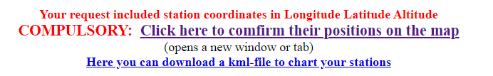
Longitude Latitude in this order!
Ever so often a user specifies a set of stations, the second value
in degrees is outside the range ±90o from the zero
meridian. It's then an easy conjecture that longitude has been
placed in the second column. However, if station longitudes are
inside the band ±90o, especially in the whole set
of stations, an unintended swap is not easy to tell. The person who
knows where his/her stations are located ought to be able to
identify them on a map.
KML-files
KML stands for Keyhole Markup Language. Geo Information Software
employs it.
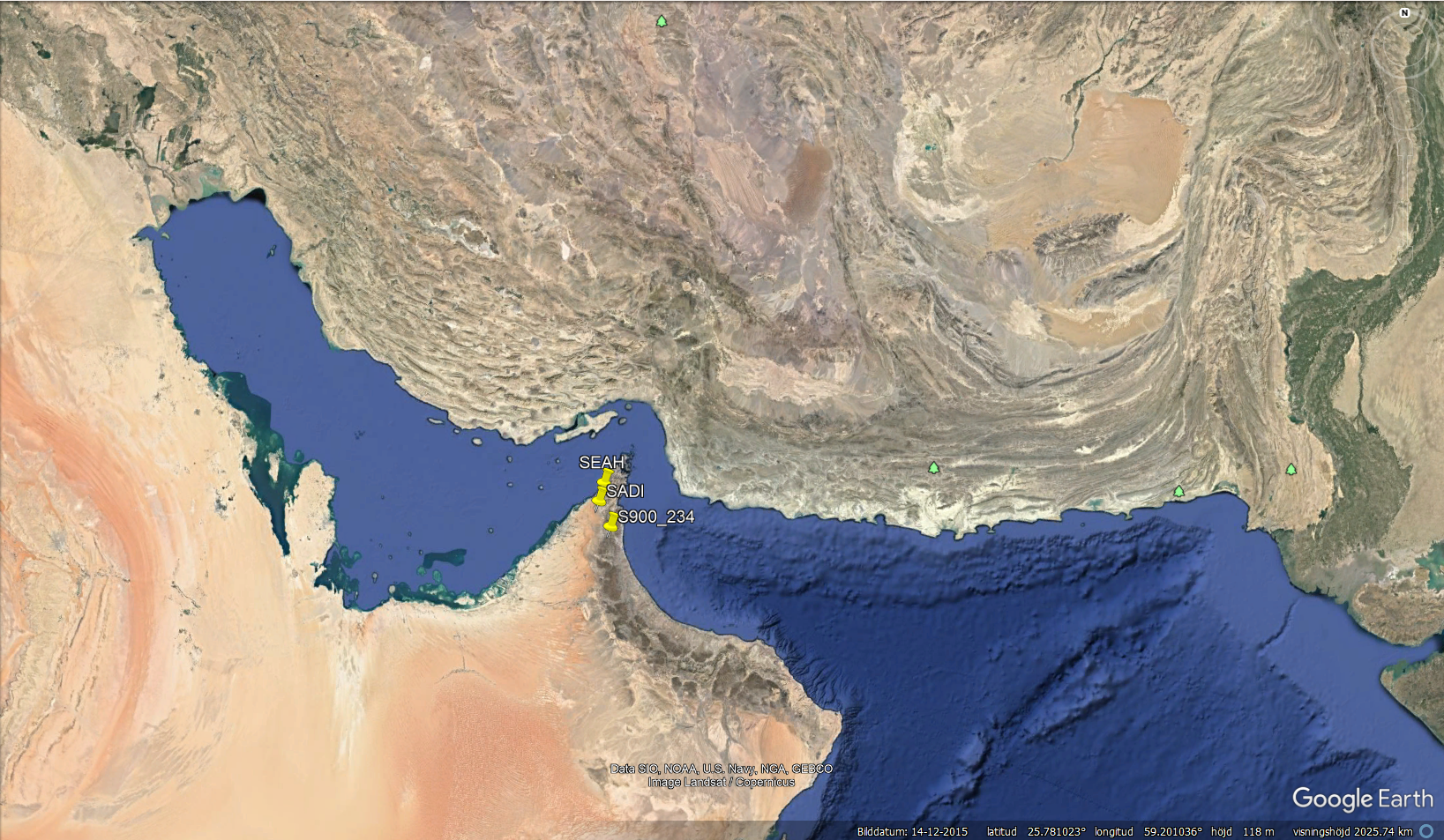
The Ocean Tide Loading Service supplies requests with links to kml
files; imported into a GIS (here we simply took GoogleEarth), the
stations are shown with pins and names so that the user can zoom
into the map and testify whether they are at the expected
locations.
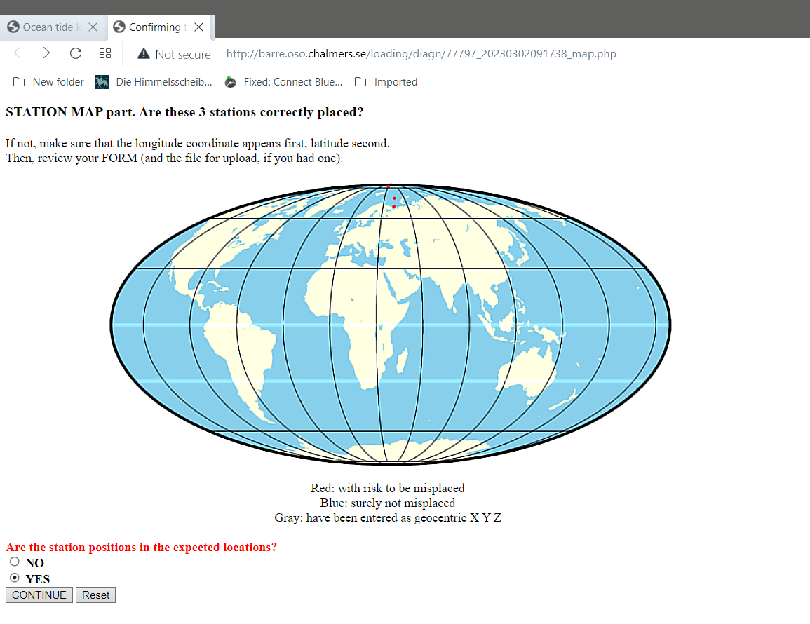
In the analysis of the station set, if no errors have been found,
the user will be prompted to verify station locations shown on a
global map:
A click on the big bold link opens another browser window (or tab)
that may look like this:
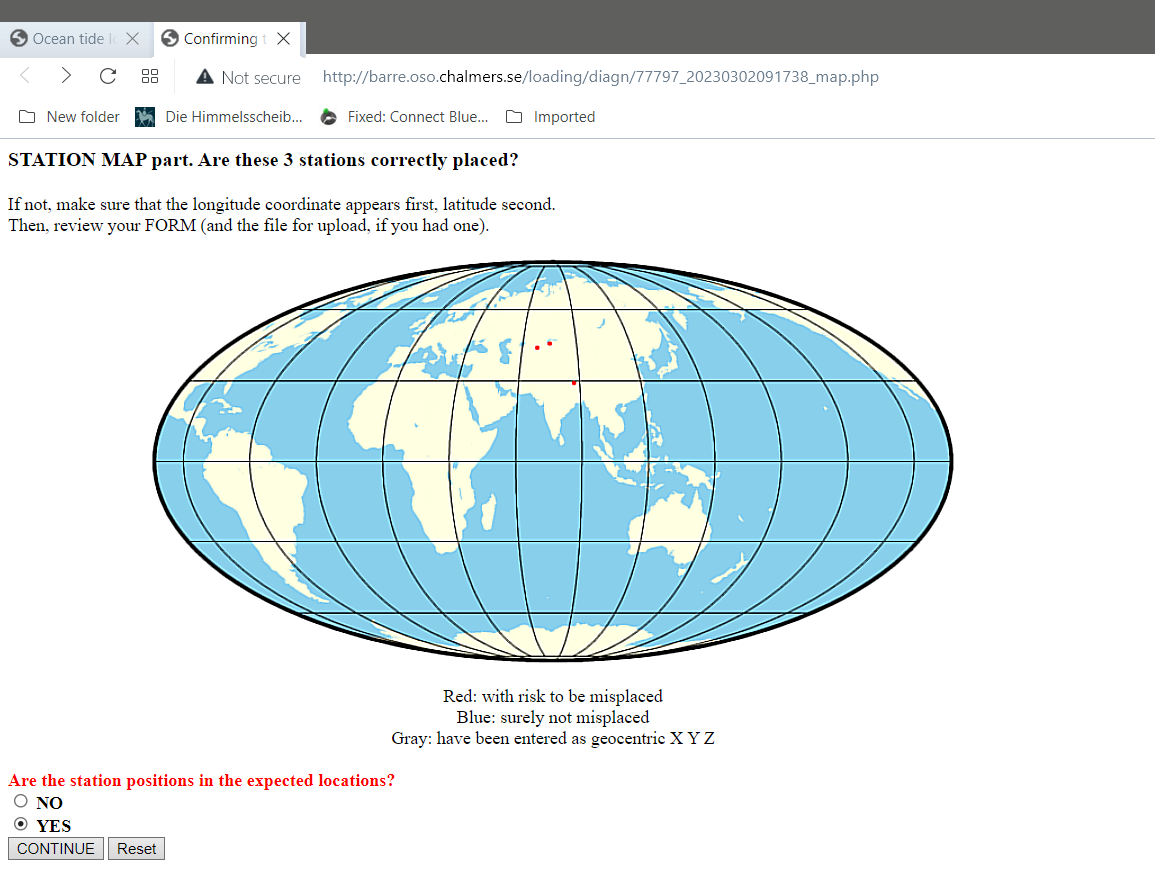
If a longitude-latitude swap had occurred, it would rather look like
this: